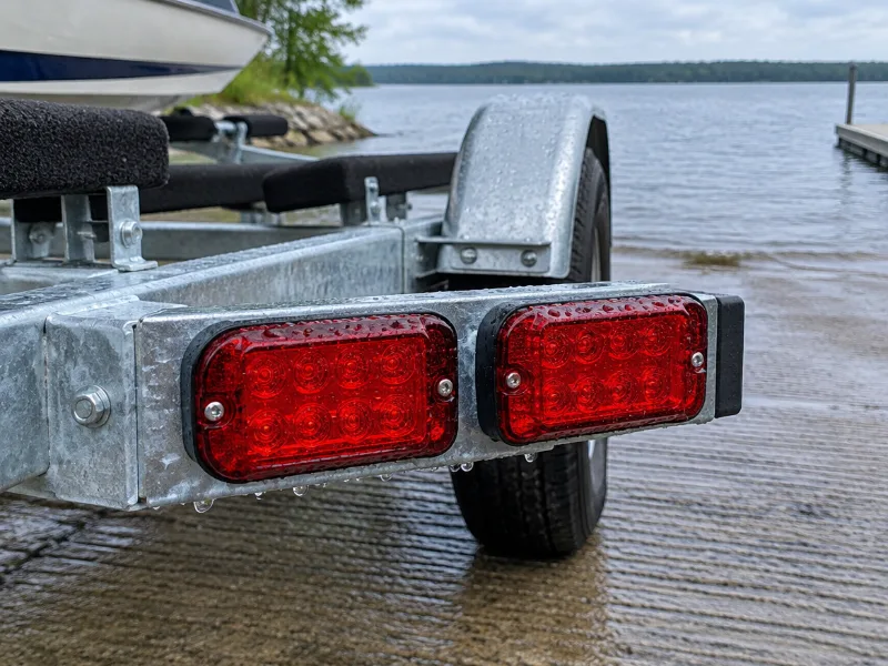
About Sequoyah State Park Boat Ramp (Northeast)
How do I get to Sequoyah State Park Boat Ramp (Northeast)?
Sequoyah State Park Boat Ramp (Northeast) is in Fort Gibson, Oklahoma. We only have the map location of Sequoyah State Park Boat Ramp (Northeast) from OpenStreetMap, and the directions link goes straight to it.
What water is Sequoyah State Park Boat Ramp (Northeast) on?
Sequoyah State Park Boat Ramp (Northeast) is on Fort Gibson Lake.
Does it cost money to launch at Sequoyah State Park Boat Ramp (Northeast)?
The map data has no fee details for Sequoyah State Park Boat Ramp (Northeast), so check the signs or the agency that runs it before you go.
Can paddlers use Sequoyah State Park Boat Ramp (Northeast)?
Usually yes, as long as you keep the lane at Sequoyah State Park Boat Ramp (Northeast) clear for trailers.
Where else can you launch near Sequoyah State Park Boat Ramp (Northeast)?
Sequoyah State Park Boat Ramp (East) in Fort Gibson (2.3 miles), Sequoyah Bay State Park Boat Ramp in Fort Gibson (3.6 miles) and Wahoo Bay Public Use Area Boat Ramp in Fort Gibson (4.2 miles).
 Boat Ramps Nearby